DRONE SURVey

Overview

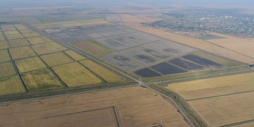
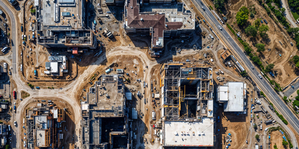
Elev8 360 provides fast, accurate drone surveying services, delivering detailed aerial data to support better planning, inspection and decision-making.

Drone surveys offer a safer and more efficient alternative to traditional survey methods, particularly on large sites, difficult terrain, structures, roofs and areas with restricted access.

By capturing high-resolution aerial imagery and site data, we help clients understand their sites more clearly and make informed decisions.

Why Use Drone Surveying?

Traditional surveys can be slow, costly and difficult to carry out safely, especially when manual access is required.

Drone surveying allows data to be captured quickly from above, reducing the need for physical access while providing a clear visual overview of a site, structure or project.

This makes drone surveys ideal for construction, infrastructure, land development, property inspection, progress tracking and condition monitoring.

Benefits

Fast data collection
High-resolution imagery
Reduced need for manual access
Safer than traditional surveys
Accurate aerial data
Clear visual reporting
Ideal for difficult or large sites
Supports better planning and decision-making
Reduced disruption on active sites

Drone Survey Services

Topographical Surveys

Aerial data capture to support site planning, land assessment and project development.

Aerial Mapping

Detailed aerial mapping for commercial, construction, agricultural, infrastructure and development sites.

3D Modelling

Drone data can be used to support 3D modelling, helping clients visualise sites, structures and project areas more effectively.

Site Inspections

Safe and efficient inspections of roofs, buildings, structures, infrastructure and hard-to-access locations.

Progress Tracking

Regular drone surveys can help track construction progress, document site development and support reporting to stakeholders.

Use Cases

Construction sites

Infrastructure projects

Land development

Commercial property inspection

Roof inspections

Asset inspection

Site progress reports

Planning support

Condition monitoring

Drone Survey

Need accurate aerial data for your site or project?

Speak to Elev8 360 about drone surveying.